


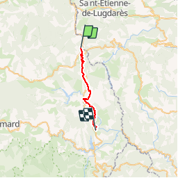

33 km | 46 km-effort

Utilisateur


Application GPS de randonnée GRATUITE
 SityTrail
IGN / Instituts géographiques
SityTrail World
Le monde est à vous
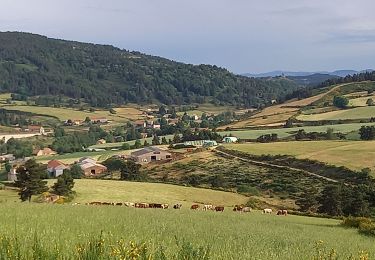
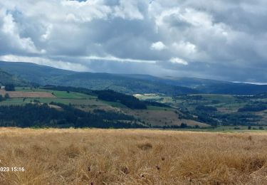
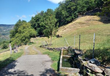
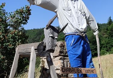
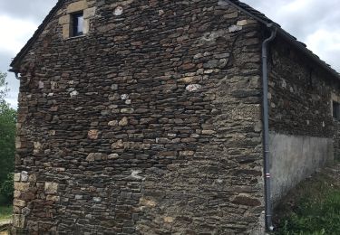
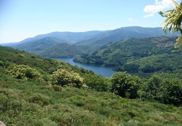
Randonnée Marche de 20 km à découvrir à Occitanie, Lozère, La Bastide-Puylaurent. Cette randonnée est proposée par ajasse.
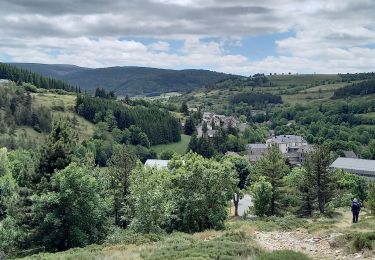
départ de la Gare de la Bastide Puylaurent en direction de la Garde Guérin.
Petit détour par Prevencheres.
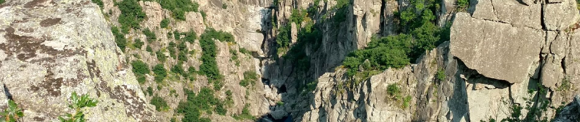
Ne pas manquer le belvédère à la Garde Guérin ainsi que l'a visite du village.


Marche
Marche
Marche
Marche
Marche
Marche
Marche
Marche

Marche